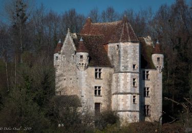
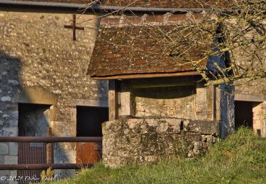
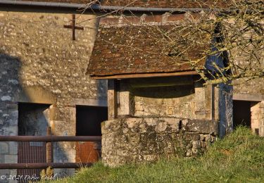
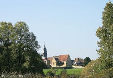
Randonnée Marche Perche en Nocé - Courboyer - Boissy-Maugis  10,8 Km - Photo

Courboyer - Boissy-Maugis 10,8 Km

 ODDAD78
ODDAD78

Utilisateur

© OpenStreetMap contributors
Longueur
Longueur
10,8 km
Altitude max
Altitude max
232 m
Dénivelé positif
Dénivelé positif
181 m
Km-Effort
Km-Effort  
13,3 km
Altitude min
Altitude min
127 m
Dénivelé négatif
Dénivelé négatif
217 m
Boucle
Boucle
Non
Date de création :
2019-04-13 16:33:35.904
Dernière modification :
2019-04-13 16:33:35.937

(0 Avis)

Marche
Marche
2h52
Difficulté : Facile

Scannez ce code QR pour ouvrir la randonnée dans l'application SityTrail

Application GPS de randonnée GRATUITE

Logo SityTrail SityTrail

IGN / Instituts géographiques

Télécharger SityTrail sur l'App Store Télécharger SityTrail sur Google Play

Logo SityTrail SityTrail World

Le monde est à vous

Télécharger SityTrail sur l'App Store Télécharger SityTrail sur Google Play Télécharger SityTrail sur Huawei AppGallery

À propos

Randonnée Marche de 10,8 km à découvrir à Normandie, Orne, Perche en Nocé. Cette randonnée est proposée par ODDAD78.

Description

"Traversées Percheronnes" vous propose près de 90 randonnées linéaires organisées en mailles sur le territoire du grand Perche. Le maillage complet est visible sur une de nos photos.
Pour chaque ville ou village étape, nous vous proposons des destinations pouvant être atteintes à pied ou à VTT. Les traces et leurs destinations sont schématisées sur nos photos jointes.
Vous pouvez ainsi composer votre randonnée itinérante à la carte selon le nombre de jours dont vous disposez.... Et des capacités d'hébergement (possibilité de négocier un "taxi" auprès de certaines chambres d’hôtes).
Les topos guides détaillés sont disponible sur le blog de Traversées Percheronnes, hébergé par IGNRando
Site Web : https://ignrando.fr/fr/customer/communaute/index/

Profil altimétrique

Localisation

Pays :
France
Région :
Normandie
Département/Province :
Orne
Commune :
Perche en Nocé
Localité :
Nocé
Départ:(Dec)
Départ:(UTM)
327626 ; 5363004 (31U) N.

Randonnées à proximité

Randonnée Marche Perche en Nocé - manoir courbpyer - Photo
Marche
fournieralain

Marche

Très facile
Perche en Nocé, Normandie, Orne, France
12,8 km | 16,4 km-effort
4h 29min
Oui
Randonnée Marche Perche en Nocé - La Maison du bois 11 Km - Photo
Marche
ODDAD78

Marche

Difficile
Perche en Nocé, Normandie, Orne, France
10,8 km | 13,2 km-effort
3h 0min
Oui
Randonnée Marche Perche en Nocé - In Memoriam  5,8 km - Photo
Marche
ODDAD78

Marche

Moyen
Perche en Nocé, Normandie, Orne, France
5,9 km | 6,9 km-effort
1h 34min
Oui
Randonnée Marche Perche en Nocé - Nocé-Courboyer - Rémalard 14 km - Photo
Marche

Marche

Difficile
Perche en Nocé, Normandie, Orne, France
14,4 km | 17,5 km-effort
6h 43min
Non
Randonnée Marche Perche en Nocé - Nocé-Courboyer - Saint-Aubin-des-Grois 9,5 km - Photo
Marche

Marche

Facile
Perche en Nocé, Normandie, Orne, France
9,5 km | 11,2 km-effort
2h 25min
Non
Randonnée Marche Perche en Nocé - Les Trois Clochers 12 km - Photo
Marche
ODDAD78

Marche

Moyen
Perche en Nocé, Normandie, Orne, France
12,2 km | 15,6 km-effort
10min
Oui
Randonnée Marche Perche en Nocé - Le Vieux bourg  5km - Photo
Marche
ODDAD78

Marche

Très facile
Perche en Nocé, Normandie, Orne, France
4,8 km | 6,1 km-effort
1h 19min
Oui
Randonnée Marche Perche en Nocé - Nocé-Courboyer - Saint-Cyr-la-Rosière 14 km - Photo
Marche

Marche

Facile
Perche en Nocé, Normandie, Orne, France
14,1 km | 15,9 km-effort
20min
Non
Randonnée Marche Perche en Nocé - Nocé-Courboyer - Prieuré de Sainte-Gauburge 13 km - Photo
Marche

Marche

Facile
Perche en Nocé, Normandie, Orne, France
12,6 km | 14,2 km-effort
20min
Non


Fermer
Mes abonnements